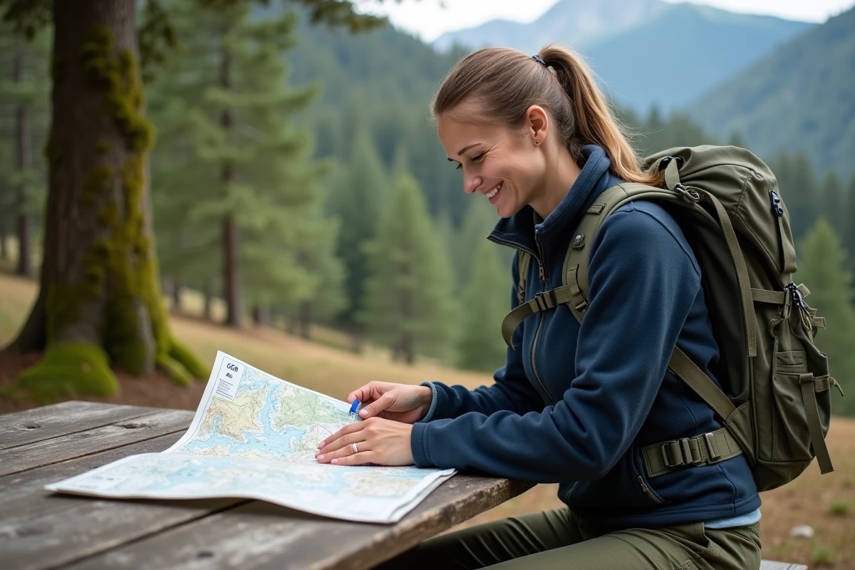
Since 2021, all IGN mapping data has been available for free on mobile through an official application. No subscription is required to access most essential features, unlike many competing services. This option, long reserved for professionals or local authorities, is now open to all individuals.
The availability of these free maps is changing the habits of users accustomed to paper versions or paid online access. Regular updates ensure current information, a fundamental element for preparing reliable and up-to-date routes.
Why IGN maps remain a reference for hikers and travelers
The IGN map has secured a solid place in the hearts of outdoor enthusiasts and landscape lovers in France. Behind every curve, every path, is a concern for detail and a rigor that shines through. The IGN maps depict the country without any gaps, whether it’s steep ridges or discreet hedgerows, while maintaining impeccable topographic quality.
Their relevance goes far beyond the terrain. Here’s what these maps concretely offer:
- The classic IGN plan, ideal for preparing and visualizing routes across all types of terrain
- Historical maps, valuable for understanding the evolution of landscapes or finding old paths
- Photo maps and IGN aerial photographs, perfect for understanding the reality of the terrain before committing to it
Each format is designed for a specific use, whether you are a heritage enthusiast or a hiking aficionado. The abundance of details, combined with frequent updates, allows for navigation in familiar territory. Paths, water points, elevation curves, cadastral boundaries: nothing is left to chance. This free access has also allowed many more people to benefit from it than before. To obtain a free IGN map, simply go through the appropriate resources, as detailed on the page “Where to find free IGN maps?” on E-Vacances.
The reliability and readability of these materials have convinced mountain guides, hiking clubs, and solo travelers alike. More than just a tool, these maps contribute to a culture of territory and testify to the seriousness of French expertise in cartography.
How the IGN Maps app facilitates free access to topographic maps
The IGN Maps app has changed the game: today, consulting French topographic maps requires neither payment nor complicated procedures. After a quick registration, everyone can freely access the richness of the territory, whether you are a walker, cyclist, or simply curious.
The interface, designed to be accessible, allows you to visualize any location and switch between different layers of information: IGN plan, historical maps, aerial photos, everything is there, at your fingertips on a mobile or tablet. The integrated search engine does the rest: type in a town, a peak, a specific site, and the detailed map appears immediately.
Here’s an overview of the possibilities offered:
- Instantly consult trails, contour lines, water points, or cadastral boundaries for reliable preparation.
- Download excerpts to continue navigating even offline, a real advantage when you move away from urban areas.
- Benefit from integrated carto services to enrich your preparations and adapt your routes to the reality of the terrain.
This system, free of ads and abusive data collection, promotes a respectful and free use. With the integrated Geoportail, the range of information expands even further: geographic and thematic data, it all comes together. This evolution accompanies the rise of a more autonomous and informed practice of hiking, as well as traveling across French soil.

Explore, plan, and share your routes: essential features to discover
Accessing the IGN map for free is much more than just skimming a plan: it transforms the preparation and sharing of routes into interactive experiences. The route creation tool allows you to trace your path manually, add points of interest, and refine each segment based on the terrain or curiosities encountered. For each section, distance, elevation gain, and altitude profile are displayed, providing a clear vision of the upcoming journey.
The downloading of the GPX trace proves invaluable: it allows you to transfer the route to any device and ensure total autonomy, even in areas with no signal. Another strong point is the collaborative reporting features: reporting a fallen tree, a faded marker, or a dry spring improves the experience for everyone. This real-time sharing creates a living and reliable information base.
Here’s what these collaborative tools concretely offer:
- Create and adjust your routes according to your level, desires, or the state of the terrain.
- Add comments, photos, or descriptions at each stage to make your journey more informative.
- Share your tracks with other users in one gesture.
- Consult reports submitted by the community to anticipate obstacles or changes.
Thus, the IGN plan no longer just maps the territory: it becomes a living space, enriched by everyone’s contributions. Preparing, consulting free IGN maps, exchanging information: everything converges towards a collective practice, more serene and better informed, at the heart of French nature. It’s an invitation to rediscover the country, map in hand, but also with an open mind, and to never stop exploring the trails, known or secret, that are offered to those who know how to look.